Buildings make up the largest segment of the built environment; globally they consume 30% of all energy. Adding new technology or features to older buildings is known as retrofitting. The intent may be to improve energy efficiency or decrease energy demand during the ongoing life of the building and is often more cost-effective and viable than a completely new construction.
The challenges of retrofitting
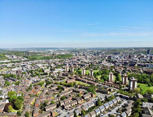
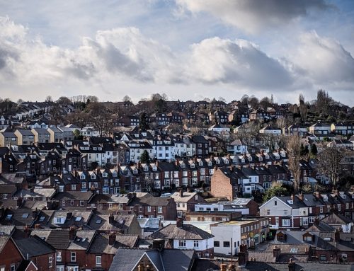
There are two different issues within retrofitting. Retrofitting individual buildings faces the challenge of identifying where the biggest energy efficiency gains can be made, in the most cost effective way, and delivering them with minimal disruption to occupants. The second challenge is city level prioritisation, which is where the Urban Flows Observatory have directed their focus.
Making building retrofit a priority at the city level is a significant challenge. Currently, a surveyor is relied upon to manually take and visually assess thermal imagery of individual buildings. They are looking to detect insulation absence, defective installation, thermal leakage and other similar issues.
To perform these inspections across whole cities would be prohibitively time intensive. There is therefore a need for a faster approach to detect and prioritise a city’s retrofit requirements.
The development of MARVEL
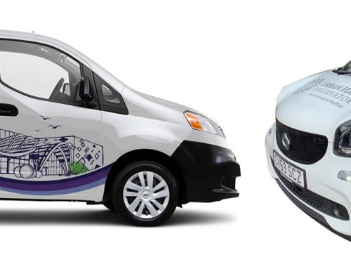
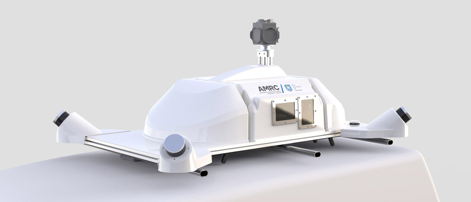
To expedite the survey process, the Urban Flows Observatory is developing MARVEL, a Multi-spectral Advanced Research VEhicLe. MARVEL will collect data to enable the production of multi-spectral 3D surface maps of the built environment.
Just like the MOBIUS project that is also being developed by Urban Flows, MARVEL is based on a Nissan eNV200 van and uses additional on-board battery systems to power the installed data capturing sensors. This fully electric approach means no fossil fuels are directly used as it moves around the city collecting data.
What data will MARVEL collect?
While driving along the road, MARVEL will simultaneously collect data from sensors that include:
- Visual cameras that take images in the visible spectrum band (this is the portion of the electromagnetic spectrum that is visible to the human eye).
- Thermal cameras that take images in the infrared spectrum associated with measuring thermal radiation.
- LiDAR units that collect direction and range information about the surrounding environment (effectively building up a 3D map of the city).
- Hyperspectral line scanners that collect high resolution spectral data of the buildings passed.
- A Pyranometer that collects information about the levels of solar irradiance.
- A combined Global Navigation Satellite System (GNSS) and Inertial Measurement Unit (INU) will record the driving path, attitude and direction of MARVEL and synchronise the other sensors in capturing data at the same time.
What will be done with this data?
The collected data will be processed to produce texturised 3D mesh models of the captured environment. Machine vision and machine learning methods will identify and classify objects, components and materials in the urban surface maps. These can then be used to detect worthwhile retrofit interventions, for example, a thermal fault in a building facade, or for urban energy simulation studies, such as modeling a building’s thermal performance under different environmental conditions. In addition to being used for retrofit, the material identification element will also be used to develop an understanding of ‘what Sheffield is made of’ – a picture of material stocks in the city, so we know what is available to ‘urban mine’ in the future.
Sharing across the network
To maximise the usefulness of this £400,000 bespoke vehicle mounted mobile sensor platform, MARVEL will be shared throughout the Urban Observatories network to capture data across multiple cities.
Author: Gregory Meyers, Chief AI Architect, Sheffield Urban Flows Observatory